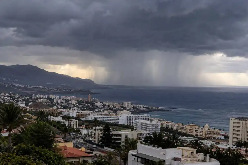
Weather warnings have been activated in Tenerife and Gran Canaria today (Tuesday) due to the possibility of thunderstorms and locally heavy rain. AEMET has issued yellow warnings covering extensive parts of both islands, with rainfall accumulations of up to 20mm in one hour possible in some areas.
The warnings come after several days of unusually warm conditions and calima, with increasing atmospheric instability now bringing a greater chance of showers and thunderstorms.
Tenerife warning from midday
In Tenerife, the warning comes into force at 12 noon and remains active until midnight.
It covers the east, south and west of the island, northern Tenerife and the metropolitan area.
The most intense showers could produce significant rainfall over a relatively short period, with thunderstorms also possible.
Conditions may vary considerably between different parts of the island, meaning some locations could remain relatively dry while others experience much heavier showers.
Gran Canaria also under warning
Gran Canaria is also under a yellow warning between 12 noon and midnight.
The warning applies to the east, south and west of the island and the summit areas, where locally heavy showers and thunderstorms could develop.
Rainfall could reach 20mm within an hour in affected locations.
Calima will remain another feature of the weather, particularly across Lanzarote and Fuerteventura, adding to the unusual mixture of conditions affecting the archipelago.
Residents and visitors should keep up to date with the latest forecasts during the day, particularly before outdoor activities or journeys into areas where thunderstorms develop.
Drivers should also be prepared for sudden reductions in visibility and potentially difficult road conditions during heavier downpours.